TIERRAS EN DANZA
CONTEMPORARY DANCE FESTIVAL IN NATURE
TIERRAS EN DANZA
CONTEMPORARY DANCE FESTIVAL IN NATURE
EL ANILLO
The International Center of Sports Innovation in Nature «El Anillo» is committed to a sustainable development model based on the creation of innovative projects and initiatives in the field of sport, sport-based tourism and nature, as well as leisure, within the framework of the Extremadura2030 strategy. Knowledge, innovation, creativity and, above all, education are fundamental pillars of El Anillo’s philosophy, considering sport as a very powerful and growing productive sector.

Currently, El Anillo is qualified as the National Reference Centre for the Professional Family of Physical Activity and Sport by the Ministry of Education. This distinction means that the CRN El Anillo plans and implements innovative and experimental vocational training activities throughout Spain, which serve as a reference for the entire National System of Qualifications and Vocational Training.
In addition to the already mentioned Formative Line, the center works on the following Strategic Lines:
- Innovation. Center for research, creation and experimentation of techniques and products.
- Business Creation. Incubator of companies related to sport and physical activity.
- Initiation, dissemination and outreach: centre for the programming and initiation of sports activities in the natural environment.
RULES OF CONDUCT
- The CONSUMPTION AND INTRODUCTION OF ALCOHOLIC BEVERAGES in the installation is TOTALLY PROHIBITED.
- MAKING FIRE AND BARBECUES IS NOT ALLOWED within the center limits. Also, legistation in Spain forbides making fire outdoors from May to October
- The material will be used in MAXIMUM SECURITY CONDITIONS .
- Make a RESPONSIBLE USE of the sports equipment of the center. Each material is intended for the performance of a certain function, respect it.
- Perform a PREVIOUS CHECK of the sports equipment delivered, checking the initial state before starting the activity.
- Ensure the CARE AND MAINTENANCE OF MATERIAL during and after use. Collaborate in the maintenance of the life of the material.
- The facilities of the residence of the center are for EXCLUSIVE USE OF PARTICIPANTS in the activity. Family, friends or others are not allowed for staying or visiting the facilities.
- PETS ARE NOT ALLOWED
- For hygienic reasons, KEEPING OR EATING FOOD IN THE ROOMS IS NOT ALLOWED. There will be a reserved spaced in the dining room to keep the food.
- At the end of your stay the resident must leave their ROOM CLEAN, without garbage and with the furniture and accessories as found.
- For hygienic, sanitary and safety reasons it is strictly FORBIDDEN TO COOK INSIDE THE RESIDENCE.
- SMOKING IS NOT ALLOWED IN ALL "EL ANILLO" AREA
- SLEEPING OUTSIDE THE ROOMS IS NOT ALLOWED
ACCOMMODATION
"EL ANILLO" RESIDENCE
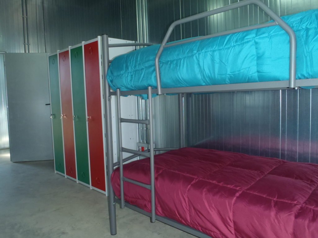
4 people room
Accommodation is included in the tuition fee from the beginning to the end of the course. The rooms are four people with two bunk beds, lockers and a full bathroom. El Anillo has bedding and blankets for attendees.
All rooms have plugs in and air conditioning and can be locked. The residence has space for 34 people.

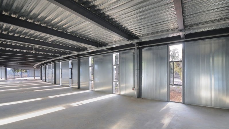
Up to 32 people room
Apart from the accommodation in the rooms for 4 people, we also have a 32-bed stay (16 bunk beds) in El Anillo). Accommodation is included in the registration fee from the beginning to the end of the course. In this room the bathroom is located in the hallway, outside the room, and the showers outside. El Anillo has bedding and blankets for attendees. The room has plugs in and air conditioning. The room has no lockers
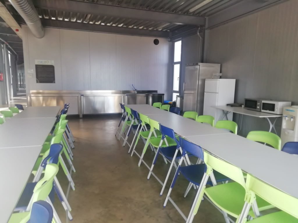
Dining room

"POETA GABRIEL Y GALÁN" HOSTEL
Accommodation at the "Poeta Gabriel y Galán" hostel will take place when the available places in the residence of El Anillo are completed. Each participant will be notified of their place of accommodation prior to payment of the registration fee.
Acommodation is included in the registration fee de la matrícula desde el comienzo hasta la finalización del curso. Las habitaciones son de dos personas con un baño para cada cuatro personas. EThere are bed sheets available for all tha students.
LIMITED ENROLLMENT PLACES!
LOCATIONS
EL ANILLO
"El Anillo" Facilities
The facilities of the Center have several accesses to the Reservoir of Gabriel and Galan, in which bathing is not allowed
"El Anillo" Rooftop
Rooftop of the building, ideal to watch the starry sky at night
Below El anillo
Shadowed spaces below the building
Módulo 5
Conditioned room in which the dance classes will be delivered
"El Anillo" at night
The other side of this fantastic installation, its night lighting that makes it change completely for a few hours
Inner terrace
One of the inner terraces with amazing views of the landscape
El Anillo spaces
Unusual suggestive spaces for creation
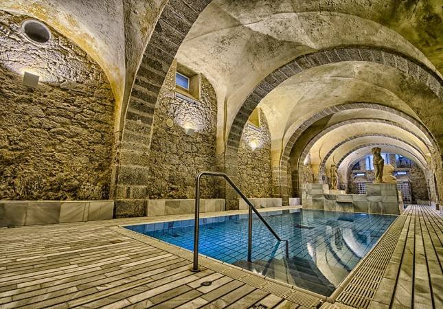
Piscina El Anillo
Pool of restricted access to which attendees will have access during the hours of bath authorized by the organization.
ACTIVITIES
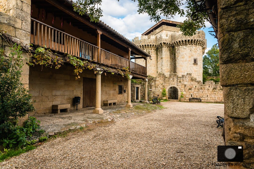
Granadilla
Square of the Medieval Ville of Granadilla
Caparra
Structure of 4 arches, unique in Europe, representing the Roman City of Cáparra
Los Pilones
Water falls that we will enjoy on the hiking route through Garganta de los Infiernos Natural Reserve.
Plasencia
City from which the bus will depart for the Festival. It deserves a visit for its streets, its walls and its cathedral
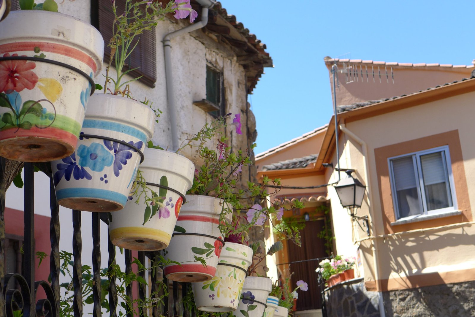
THE SURROUNDINGS
The region of Trasierra-Tierras de Granadilla is located in the North-Central sector of the province of Cáceres and delimits the North with the province of Salamanca and the Ambroz Valley, to the west with the Comarca de Las Hurdes and Sierra de Gata, to the south with the city of Plasencia and to the east with the Valle del Jerte.
Territorially we find two very different areas: the Central and Southern plains that encompass most of the territory and the mountain areas of East and North. These orographic contrasts also imply significant altimetric differences and consequently of vegetation, occupation of the space and its use. Giving rise to a well-differentiated landscape between the mountains and the foothills, the plains and the lowlands of the Rivers Ambroz and Alagon.
It is crossed by two important rivers: the Alagon and its tributary the Ambroz, the latter has associated a series of irrigated in La Granja and Zarza de Granadilla.

Both rivers present an important enclosure, especially the Alagon in its course downstream of the Embalse de Gabriel y Galán, giving rise to riparian areas with special ecological value.
The territory has a good location and good accessibility, as it is crossed by one of the main national routes: the Ruta de la Plata, defined by the N-630 and the A-66 motorway, which links the North and the South of Spain. The proximity to Plasencia is another factor to highlight. The EX-205 forms the backbone of the Commonwealth from West to East and from there you can access most of its municipalities.